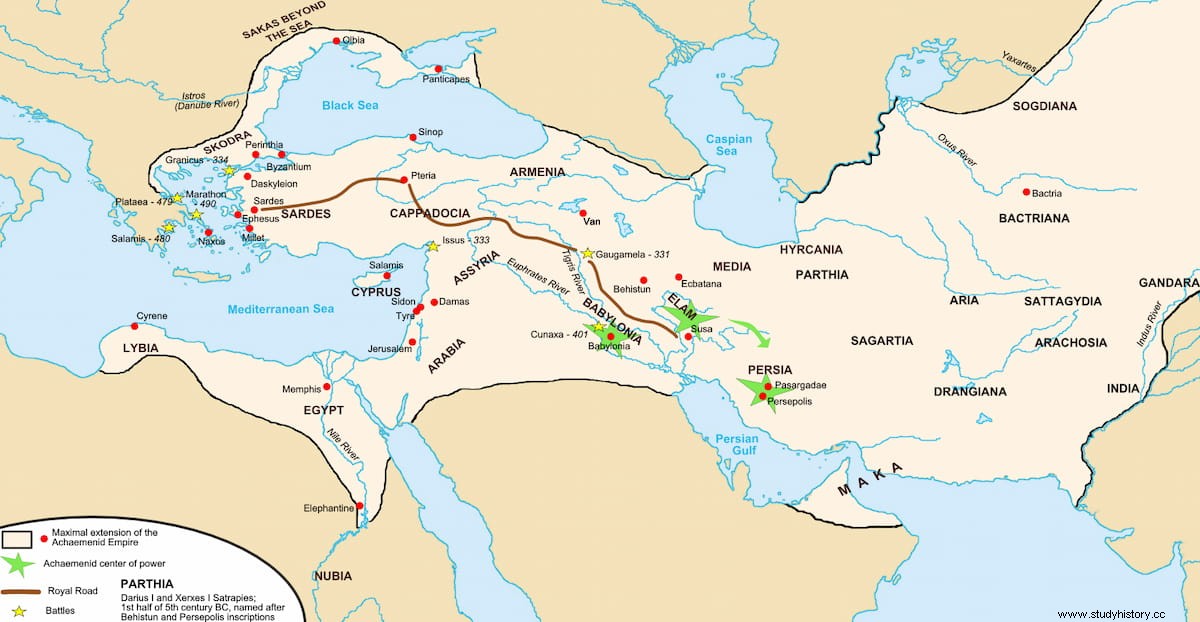
More than two centuries before the first Roman road, the Appian Way, was created, the Persian King Darius I planned and built a road that crossed the entire western part of his empire, from the capital Susa in the interior to Sardis in the extreme. from Anatolia. We know it as the Persian Royal Road, and it would play an important role throughout Antiquity, used by the Persians themselves, the Greeks, the Romans and the Parthians.
The first mention of the Royal Road in Greek literature corresponds to Herodotus, when he speaks of the visit of Aristagoras to King Cleomenes of Sparta in the year 499 BC. to try to get his support in the revolt of the Ionian cities.
Indeed, it took 90 days to walk the entire highway from one end to the other. However, the legendary Persian couriers that Herodotus calls angareyos They made the journey of 450 parasangs (the measure used by the Persians), equivalent to 2,699 kilometers, on horseback in nine days.
It is also thanks to Herodotus (and archaeology) that we can reconstruct the route that the road followed. From the westernmost point, it began in the Lydian capital of Sardis, very close to the Aegean coast, and headed east across the Anatolian peninsula. It crossed the Taurus mountain range by way of the Cilician Gates, a narrow gorge no more than 10 meters wide, and entered the Assyrian capital of Nineveh in upper Mesopotamia. It then turned south toward Babylon.
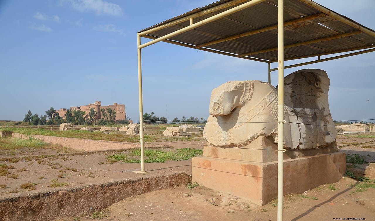
From Babylon it is believed that the road divided into two routes. One ran northeast and then east through Ecbatana and linked up with the Silk Road into China. Another continued east to the Persian capital of Susa, and may even have continued southeast to reach Persepolis.
The fact that the road did not follow the shortest route, nor the easiest to carry out, between the cities it linked, makes researchers think that some of its sections may actually predate Persian rule. Some would have been originally built by the Assyrian kings (hence the route passes through their territory). Other sections of the road could go back to prehistory.
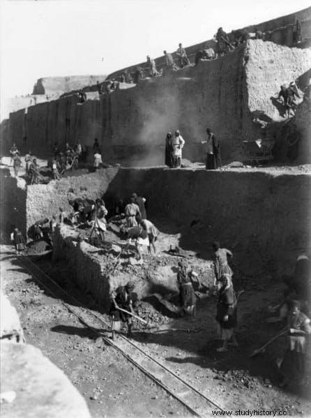
Darius I developed and expanded this network, connecting the different sections and turning it into the Royal Persian Route or Road, as it is known today. Along the route he established 111 stations or posts equipped with fresh horses, where the royal messengers could carry out relays, thus constituting the first postal system in the world. Many tablets found in Persepolis refer to this post system, which they call pirradaziš .
Likewise, the posts along the route, which included military garrisons, provided food rations to those travelers (and their horses) whose documents and safe-conducts, issued by the satraps, granted them such a right.
The Persian troops of Darius and Xerxes marched along this road against the Greeks, and along it Alexander the Great would also enter the heart of the Persian empire, following the route marked out by Herodotus. According to Robin Lane Fox:
Later the Romans would improve the road by adding a gravel surface 6.25 meters wide, delimited by a stone curb (which has been found in a section near ancient Gordio, the capital of Phrygia).
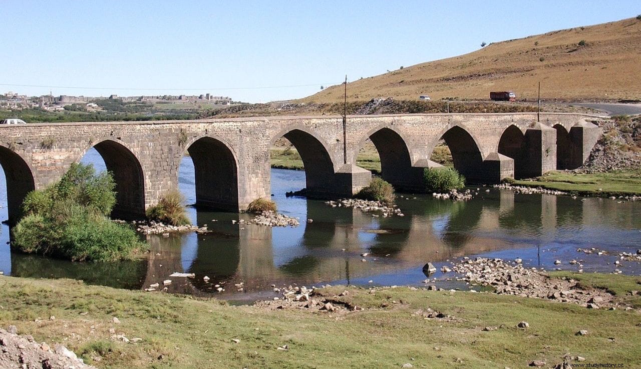
A traveler following the route from Nineveh west along the King's Road crossed the Tigris River near a city called Amida in Roman times and today Diyarbakır in Turkey. There still stands one of the bridges that the Romans built on the old Camino Real.
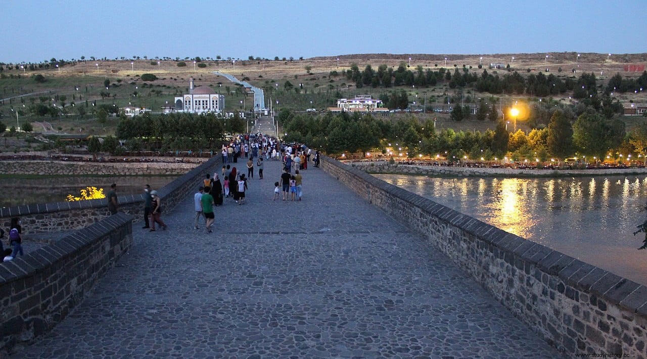
This bridge, and by extension the entire Camino Real, was still important enough at the time to be defended by an entire legion, the V Parthica, and to deserve to have been repaired multiple times.
According to David F. Graf, the total mileage of the Persian imperial highways, which includes the Royal Road, reached more than 12,800 kilometers. By comparison, the total length of Chinese imperial highways at the end of the 3rd century AD. it has been estimated at 40,000 kilometers for an empire of approximately 4 million square kilometers. The Roman road system at its greatest extent under Trajan, in the 2nd century AD, comprised 78,000 kilometers of roads for a territory of approximately 4.5 million square kilometers.
Fonts
Pierre Debord , Les routes royales in Asie Mineure Occidentale | Royal Road – Livius.org | David F. Graf , The Persian Royal Road System . Continuity &Change:Proceedings of the Last Achaemenid History Workshop 1990. Achaemenid History. Vol. 8. pgs. 167–189 | Royal Road – Iran Chamber Society | Herodotus , History | Robin Lane Fox , Alexander the Great:conqueror of the world | Wikipedia
