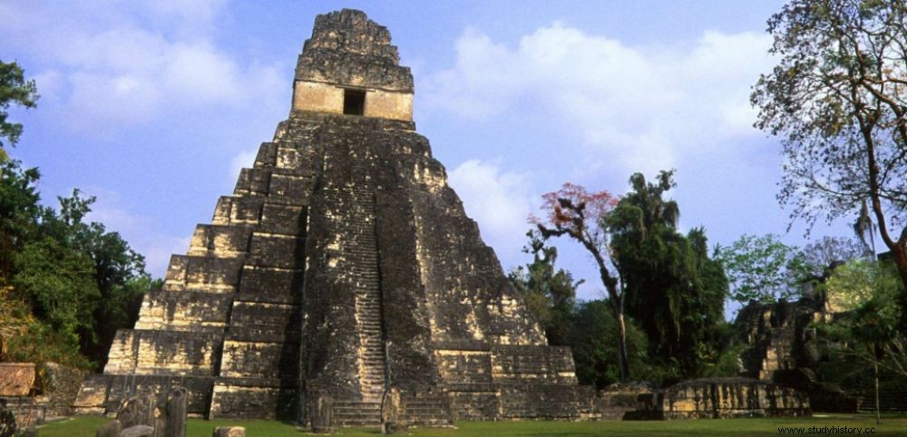
 The Temple of the Great Jaguar in Tikal (Mayan city located in Guatemala) is erected on a pyramidal base of 47 m height.
 HOAC. A 15-year-old Quebecer discovered a Mayan city after developing a theory that the geographical location of cities of this pre-Columbian civilization corresponds to the constellations. It was enough for William Gadoury to realize that a city was missing at the point corresponding to a star of one of these constellations, then to see on satellite images that there were precisely stone structures. resembling a pyramid and about thirty buildings, to realize his brilliant discovery. Here at least is the beautiful story announced on Saturday, May 7, 2016 by the Journal de Montréal and since taken up everywhere in the media. Except that she does not stand up for a moment.
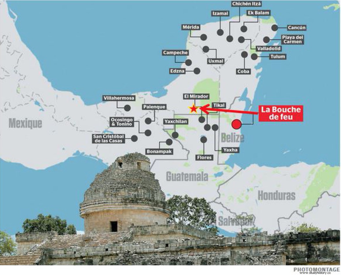
Funny card
"With my colleagues , we laugh a lot looking at the map supposed to locate the location of the city , says Marie-Charlotte Arnauld, Emeritus Research Director at ArchAm (Archaeology of the Americas, CNRS UMR8096), specialist in Mayan habitat and urbanization. L the geographical information provided is particularly bad and aberrant ." After being first located in Belize (Saturday), the city would now be in Mexico (see map below). "On this new location map, the city leaps into the space of several hundred kilometers to end up in the southeastern state of Campeche, Mexico , explains Éric Taladoire, Professor of pre-Columbian archeology, to Bernadette Arnaud, senior reporter for Sciences et Avenir . Curiously, on this same map, the Guatemalan site of Mirador crosses the border to end up in Mexico, which confirms that geography is not the forte of this team ". In addition, according to specialists, the area in which the site is supposed to be located is well-prospected by hundreds of archaeologists. It is also very populated:it is therefore unlikely that a large Mayan city can go completely unnoticed. However, according to the Journal de Montréal, it would be "the 4th most important Maya city ", from an "s total area of 80 to 120 km 2 ", so not a small village. Incidentally, these dimensions seem "aberrant " to Marie-Charlotte Arnauld comparing them to those of Tikal, one of the largest archaeological sites and urban centers of the Maya civilization, which is "barely 20 km 2 ".

A squash field?
So what is the geometric shape observable on the satellite images, if not a gigantic pyramid? "The square that was found on Google Earth is indeed of human origin, but it is an old field of corn or milpa lying fallow , slice David Stuart, American Mayanist, interviewed by the magazine Wired . This headline story about the discovery of an ancient Mayan city is false. I tried to ignore it (and the media inquiries I received) but now that it's on the BBC site, I feel compelled to say something. This whole thing is a mess – a terrible example of junk science hitting a plummeting internet. The ancient Maya did not plan their ancient cities according to the constellations. "
"It's not the planet Mars"
Same story in France on the ArchAm side. "No need to waste time trying to locate the young Canadian's new site;the coordinates, the map, the principle of location, everything is wrong, inconsistent and absurd , insists Marie-Charlotte Arnauld. C this story of planning all cities according to constellations is an aberration:constellations are cultural constructs (just connecting the dots) and ours come to us from the Greeks! Anyway, the starting assumption is wrong:it forgets 3,000 years of history. Not all cities were founded or occupied at the same time. There is no grand Mayan design and the tropical forest is managed like any natural environment, millennium after millennium. This is not the planet Mars! Anyway, all of this is useful to raise $1,000 and pay for the boy's trip. But he is t wish journalists would accept these hoaxes. " A media frenzy denounced in particular by the website Stopping on images.
