Located in the Cerro de las Albahacas, the Baecula project has made it possible to identify and characterize a corpus of unique materials for the study of the armament of the armies of the end of the 3rd century BC , contributing to the traditional philological criticism the archaeological data that show a new reality of analysis. In addition, the research carried out has defined and characterized the scale of a military confrontation in the open field, as well as the episodes and actions that took place:movement of armies, spaces occupied by light and auxiliary troops, definition of the area where produced the melee, etc. The camps and the roads used have been located and the impact of this conflict on the Iberian communities of the Upper Guadalquivir has been analysed, with special emphasis on those aspects related to the dismantling of the Iberian political territory, religious changes, social transformations, etc. . (Fig. 1).
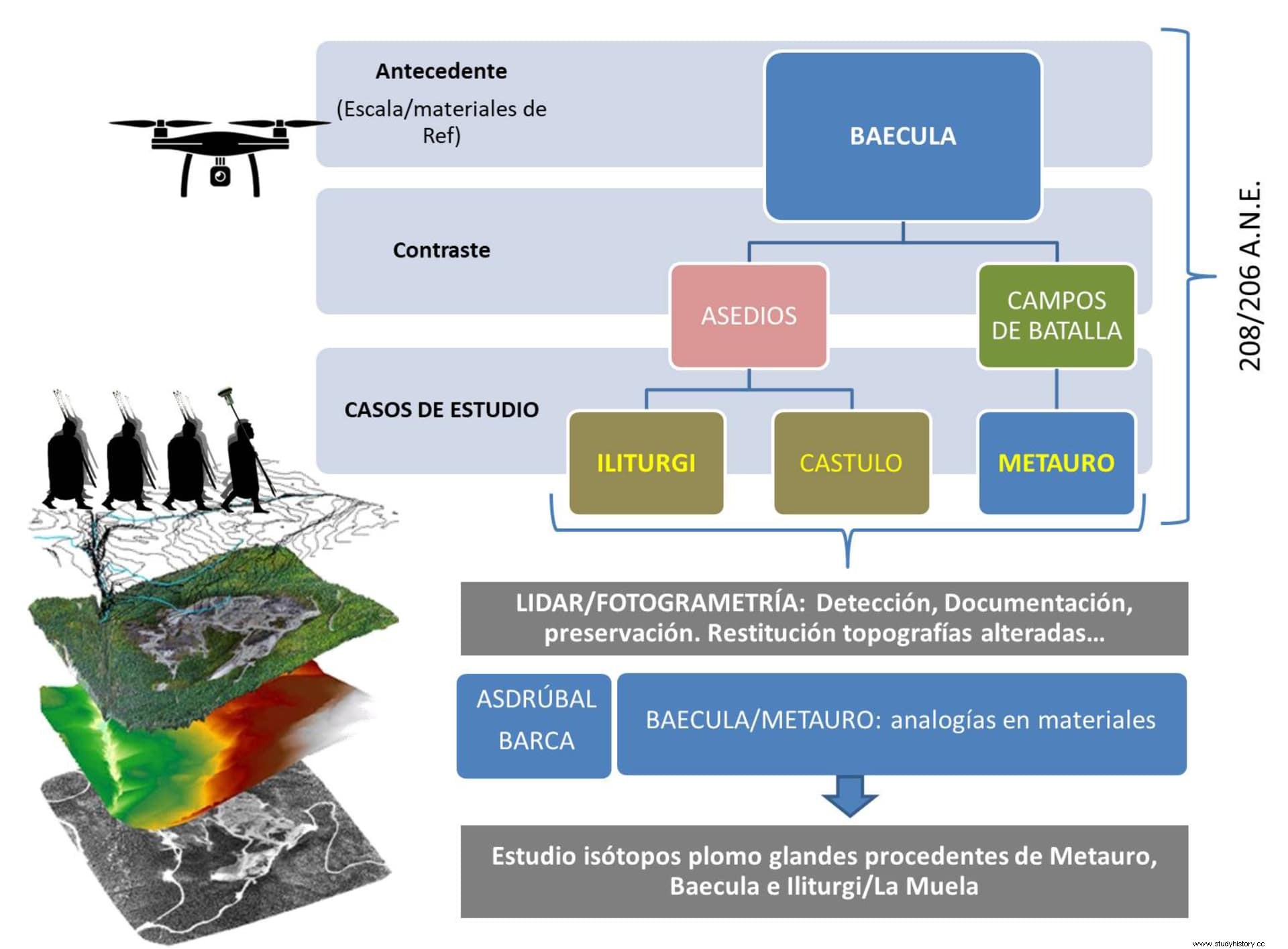
This project, which can be considered as a paradigm for studies on ancient battlefields, it has consisted of different phases :from the location and study of the battlefield, to the development of new case studies with a double objective:on the one hand, to contrast the methodology developed in Baecula and, on the other, to incorporate new types of analysis around the Second Punic War:together with the Battlefields, a category in which Baecula is included , Numistro (Basilicata, Italy) or Metauro (Fossombrone, Italy), the sieges of oppida with a notable relevance in the Upper Guadalquivir:Iliturgi (Mengibar, Jaen). Let's look at each of these phases.
First Phase. The location of Baecula
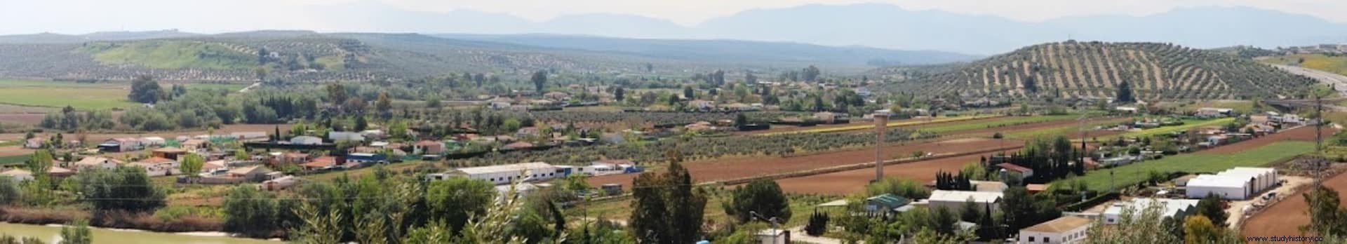
In 2001 the Project “Battles, Actions, Scenarios:the 2nd Punic War in the Upper Guadalquivir” was presented to the Own Plan of the University of Jaén. , which tried to contrast the written sources (Polybius and Tito Livio) with the archaeological methodology of surface prospecting. For this purpose, the scene of the battle of Baecula was chosen. (see Baecula, archeology of a battle in Ancient and Medieval No. 17:The Second Punic War in Iberia), which Brewith (1914), Kromayer and Veith (1903-1931) had established in the surroundings of Bailén. Although the subject seemed very consolidated in the historiographical tradition by Shculten, Bosch Gimera or Scullard, it had nevertheless been based exclusively on topographical and toponymic bases and had never been sanctioned by an archaeological analysis . A surface survey was carried out in the area proposed by Schulten and it was noted that no materials associated with a battle were recorded. Given the new situation, the research strategy was changed, proposing an extension of the work area to the entire Upper Guadalquivir. To do so, there was in-depth information on the territory, which began with the doctoral thesis work of one of us (RUIZ 1978), to which excavation and prospecting work had subsequently been added, which allowed us to have a very complete map of the oppida Iberians from the area. Those with a confirmed name (Cástulo, Iliturgi , Tugia , etc…) and eleven oppida were selected of unknown toponymy. To set the selective prospecting model, circles of five km were drawn with a center in each oppidum and in these areas, based on the geographical descriptions of Polybius and Titus Livy, the spaces that best fit them were located (a hill well defended by a river running behind it, an escarpment in front of the Punic camp, etc. ), concluding that only one, Hill of Basils of Santo Tomé (Jaén), near the oppidum of Turruñuelos, recorded materials typical of a war action of the time. The proposal that Turruñuelos was Baecula and Cerro de las Albahacas, the scene of the battle, was the hypothesis that opened the next phase of the investigation (BELLON et alii, 2004).
Second Phase. The archaeological reconstruction of the battle of Baecula
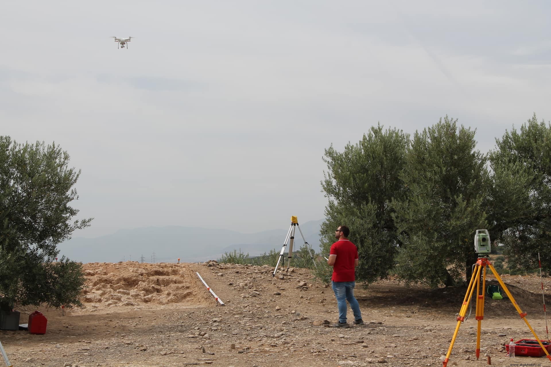
In 2007 a new stage began with the R&D project of the Ministry of Science and Innovation (MCE) “Baecula ” (2007-2012. HUM2007-63954, A. Ruiz as I.P.), in parallel to a General Research Project of the Junta de Andalucía. Subsequently, this phase was continued with the MCE project:«BAECULA:Analysis of the scene of a battle of the Second Punic War » (2012-2014 HAR2011-26547, M. Molinos as IP), in addition to obtaining the renewal of the General Project of the Board. The work process consisted of transcending from the macro-spatial scale of the first phase to the micro-spatial scale, with the aim of facing the scale of the war event from archeology. For this, a matrix of places was established and, following the classic texts, of moments, articulated in a typology of simple, juxtaposed and chained scenes. The methodology to deal with this matrix was established following the following guidelines:first, the site was surveyed to determine its stratigraphy and to intervene only with a metal detector in the superficial sedimentary unit. Gradually, the territory of the scenario (442 hectares) was sampled in units of transects and grids superimposed on traditional olive plantations and a GIS was designed that received the information recorded:materials per grid (mainly ceramics) and individualized metals. At the end of the work, there were 4867 metal objects georeferenced and associable to the battle , among which were coins, weapons (spears,stack , arrowheads, darts, etc.) impediment material (fibulae, settings, spurs, bullae , etc.) and above all a large set of caligae tacks (basic to reconstruct the movements of the Roman army) and more than 3116 indeterminate objects. In conclusion, eight of the ten scenes described in the classical texts were reconstructed and new information was obtained that the written sources did not provide and that allow a rereading of the battle in its own structure (Bellón et al., 2016)
In parallel to the microspatial survey, work was also carried out on broader scales:on the one hand in the macrospace, with an intensive survey that allowed knowing the sequence of occupation of the territory and the effects of the battle; and on the other hand at the semi-microspatial scale, fixing the structural elements of the landscape. Excavation surveys and microspatial prospecting were carried out in the oppidum de los Turruñuelos, fixing its abandonment after the battle. Also by area photography, two camps were identified in the area of the battle , which had preserved the traces of their fossilized palisades in the cadastral plot. They were Hasdrubal Barca's camp, destroyed during the battle, and Scipio's second camp, which was built after it. In both, stratigraphic surveys were carried out and in the last of the two, the pits with the materials intentionally destroyed during their abandonment were documented. The third camp, discovered in the Loma de Garrancho, which was the first of Scipio, was recognized thanks to the caligae tacks. , being able to follow its distribution from the scene of the battle backwards, reconstructing the advance of the Roman army.
The results of the work in this phase were presented at the international congress held at the University of Jaén (2011), whose papers, including the project report, were published with the title “The Second Punic War in the Iberian Peninsula. Baecula:archeology of a battle ” (BELLON et alii, 2015).
Third Phase. The Siege of Iliturgi and the battle of Metaurus
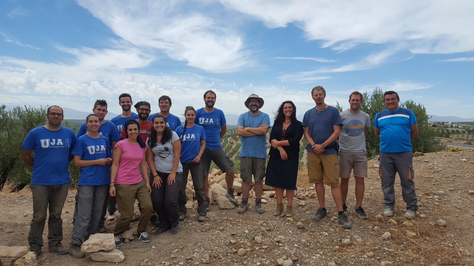
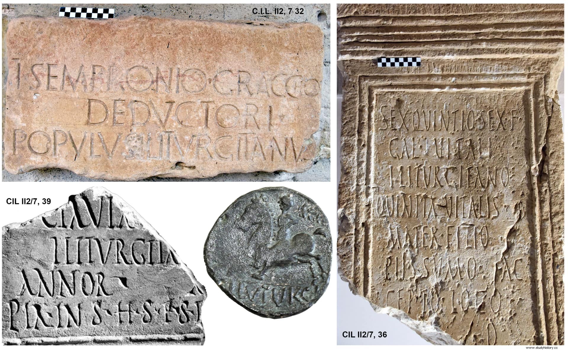
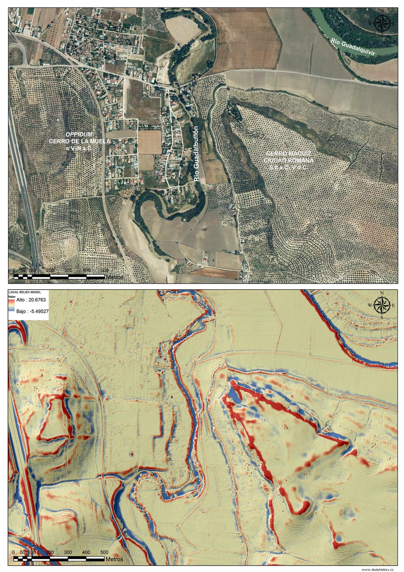
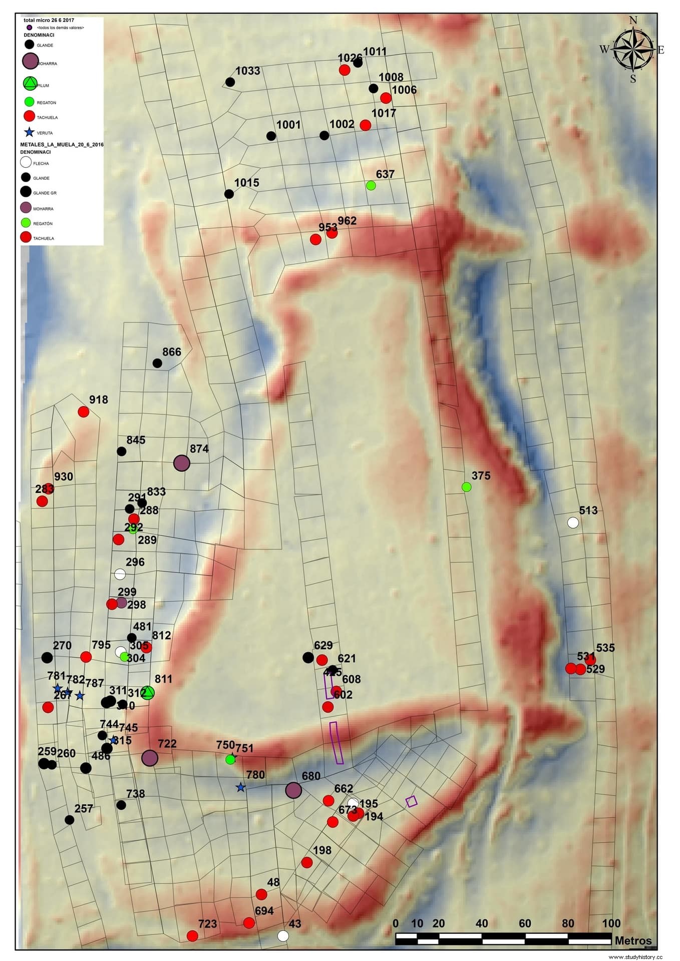
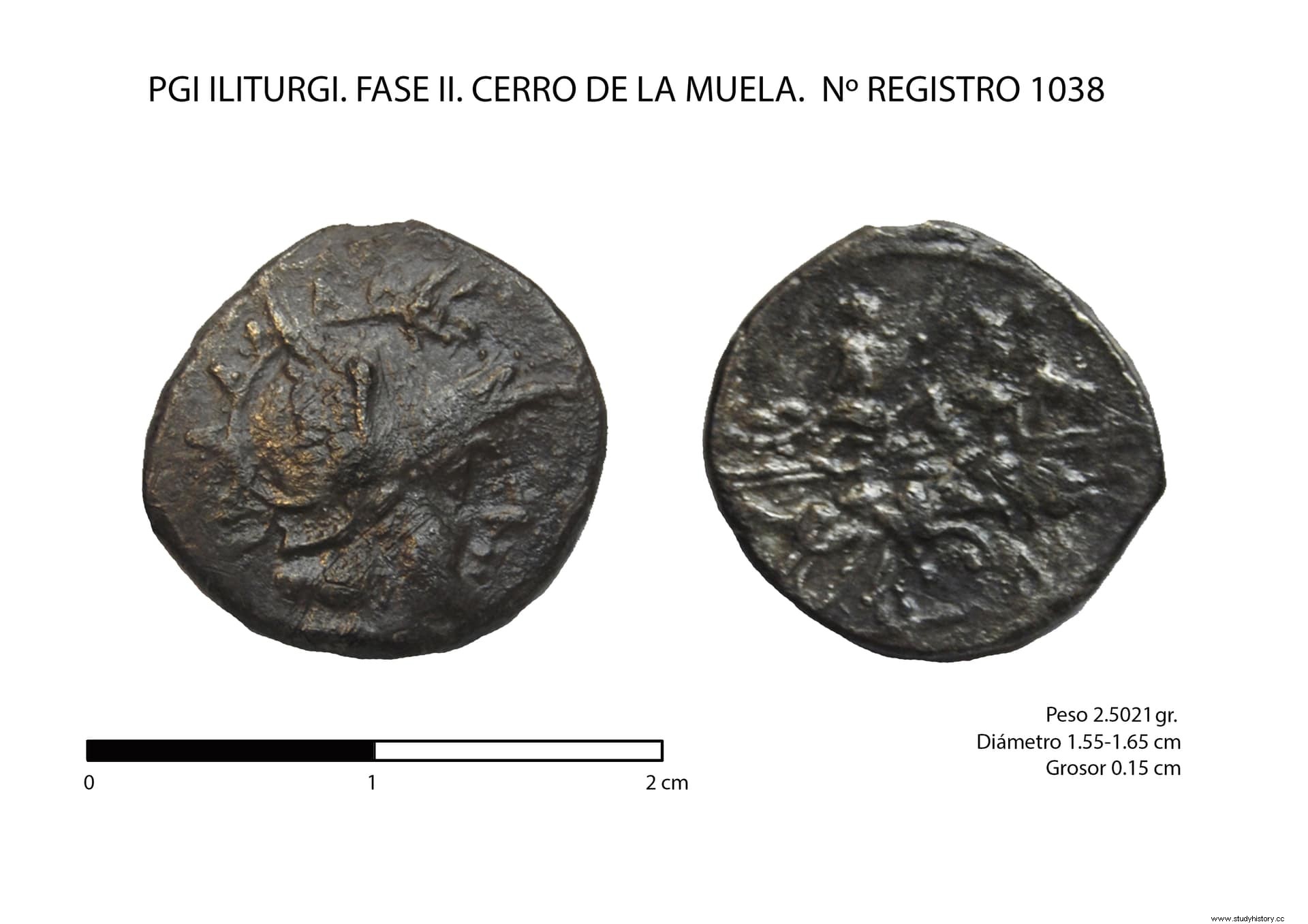
The last phase of study is linked to the new research projects that, carried out by the IUIAI, aim to better understand this conflict both in the Alto Guadalquivir and in Italy. As a methodological novelty, new analysis tools have been integrated in this stage, such as LIDAR technology to obtain digital terrain models, as well as the analysis of lead isotopes in the glans of Honda to verify the origin of samples associated with Baecula , Metauro and Iliturgi . In this way, between 2014-2018 the Project of Excellence «Iliturgi:conflict, worship and territory was obtained. » (PI12-HUM-2619, with J. P. Bellón as I.P.) of the Junta de Andalucía and from 2016 to 2020 the Project “ILITAURO:Methodology for the archaeological study of battlefields and sieges in the context of the Second Punic War :Metauro, Iliturgi and Castulo (208-206 BC) ” (HAR2016-77847-P; J. P. Bellón as I.P.) of the Ministry of Economy and Competitiveness (MEC). Although it is still in full development, the work has allowed contrasting the methodology of Baecula in Iliturgi , a siege scene from the year 206 B.C., having concluded for the time being that Cerro Maquiz, the traditional location of Iliturgi , was a Roman refoundation (Fig. 2), being the next Cerro de la Muela, the oppidum Iberian of the s. V-III a.n.e. (Fig.3). Also what was this oppidum, which preserves a good part of its fortification, the one attacked by Scipio, since it has been possible to reconstruct the siege on its southwestern front, observing the presence of war machines, not documented in Baecula , and whose exact location has been able to be fixed by the trajectory of the scorpio projectiles recovered (Fig. 4). Finally, it has been possible to locate a Carthaginian camp in its vicinity. In this phase, there is a contracted FPI (Miguel A. Lechuga) who is writing his doctoral thesis on the settlement of the Iliturgi environment. , thanks to whose work the Ianus Augustus, caput viae has been discovered that marked the limit between the provinces of Betica and Tarraconense.
Finally, the international projection of these works has a first test in the south of Italy, through a project financed by the Cultural Heritage Institute of Spain, in its Excavations Abroad program (Project “Study of the annibal war scenes of Numistro and Grumentum, Basilicata -Italy , J.P. Bellón as I.P.) and, currently, we are starting field work to locate the Battle of Metauro, linked to Baecula through Asdrúbal Barca, just one year after that.
Project dissemination actions aimed at society
In the research transfer strategy, work has been done with the local population through different activities in collaboration with the Association "Amigos de los Iberos" and the Diputación de Jaén. The creation of the interpretation center under construction on the Battle of Baecula is also advised. and the creation of a panoramic viewpoint "in situ" from which to observe the actions of the battle. To this is added that in 2010 the exhibition “Baecula , Archeology of a Battle”. At this time we already have a project for the creation of the Iliturgi Interpretation Center .
Between 2015 and 2017, the project “3D Y SIG for the interpretation and dissemination of a historical-archaeological event:the battle of Baecula on the Camino de Hannibal ” (HAR2014-59008-JIN; C. Rueda as I.P.) of the MEC, within the Development and Innovation program Oriented to the Challenges of Society. The website has been created within this framework:http://www.battlefieldofbaecula.es/baecula-inicio-home.
Finally, the municipalities of Santo Tomé (Baecula ) and Mengíbar (Iliturgi ) have been integrated into the European Cultural Route "Route of the Phoenicians" of the Council of Europe with the tourist-cultural product "In the footsteps of Scipio, the African".